High-Resolution Imagery with
Ocean Satellite Tasking

At 50 cm resolution, Ocean Tasking provides organizations with near-real-time intelligence to proactively identify blind spots, anticipate events, and have confidence in the next mission-critical decision.

Rapid revisit, Global Intelligence

Reliable, High-Resolution Data from Around the World

With our fleet of high resolution tasking satellites, Ocean offers the most frequent, intraday revisit capability of any commercial provider, capturing actionable insights sub-daily for real-time decision making.

Rapid Revisit

Constellation designed for multiple revisits per day to capture a range of times, locations, and parameters

High-Resolution

Enhanced 50 cm ortho spatial resolution images and next generation Pelican satellites coming soon

Tip and Cue

Leverage Ocean Monitoring and Tasking constellations for a simple Tip and Cue workflow

Extensive Archive

A global archive containing millions of square kilometers of imagery

Rapid Delivery

High-resolution images and insights delivered less than four hours from capture

Workflow Integration

Access data and imagery within existing workflows with Ocean's APIs

New Tasking Product

Single Order Tasking

Access satellite imagery quickly and pay-as-you-go in the Single Order Tasking portal powered by our partners at SkyFi. Gain quick access to order individual tasks for ad-hoc projects through our 100% digital experience.

Tasking Dashboard

Access the Data You Need When You Need It

The Tasking Dashboard uses tasking credits, making it an ideal solution for organizations requiring scalability and flexibility for ongoing projects.

This easy-to-use interface is accessible anywhere, and allows you to submit, modify, and cancel satellite imagery requests online. The process is automated, and provides near-real-time updates from order to fulfillment. Assets are delivered to you directly through Ocean’s powerful, cloud-based infrastructure.

How It Can Help

With an Intra-day Revisit Rate, Ocean Tasking Delivers High-Precision Insights and a Global Perspective

High Accuracy

Images provide extremely detailed information in high-resolution

More Timely

High intraday revisit enables real-time intelligence of changes as they evolve

Easily Accessible

Cloud-based dashboard makes tasking simple and possible anywhere

Comprehensive Library

Access to Ocean’s constantly updated archive of approximately 50 PB of Earth data

Collection Types

Data for Every Need

Video

Pan video up to 120 seconds

Stereo Collection

3D models and DEM construction for volumetric analysis

Standard Collect

Point and strip up to 500 sq km
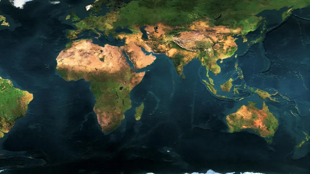
Global Perspective, High-Precision Insights

Imagery and Insights, Delivered Where You Want to Work

Ocean Basemaps

Current, complete, analysis-ready mosaics

Ocean Monitoring

High-frequency, global coverage

Ocean Archive

A constantly refreshed global dataset
Scroll to Top